Website,
Wikimedia,
Wikidata
Grimes Graves, including round barrow in Grimes Graves Plantation, Grimes Graves
site, flint mine, United Kingdom
Location: 52.4767, 0.673333, ///over.neater.encloses, Google, Bing, Aerial View, OldMapsOnline, ESRI Imagery, Historic Markers, KML, NLS, OS,
eDoB,
Loading map...
{"minzoom":false,"maxzoom":false,"mappingservice":"leaflet","width":"auto","height":"600px","centre":{"text":"","title":"","link":"","lat":52.4767,"lon":0.673333,"icon":""},"title":"","label":"","icon":"","lines":[],"polygons":[],"circles":[],"rectangles":[],"copycoords":false,"static":false,"zoom":false,"defzoom":14,"layers":["OpenStreetMap","Esri.WorldImagery"],"image layers":[],"overlays":[],"resizable":false,"fullscreen":true,"scrollwheelzoom":true,"cluster":false,"clustermaxzoom":20,"clusterzoomonclick":true,"clustermaxradius":1,"clusterspiderfy":true,"geojson":"","clicktarget":"","imageLayers":[],"locations":[{"text":"\u003Cb\u003E\u003Cdiv class=\"mw-parser-output\"\u003E\u003Cp\u003E\u003Ca href=\"/Q124945109\" title=\"Q124945109\"\u003EEast Dereham Breckland District Emergency Centre\u003C/a\u003E\u003C/b\u003E\u003Cdiv class=\"mw-parser-output\"\u003E\u003Cp\u003Ecivil defense center\n\u003C/p\u003E\u003C/div\u003E","title":"East Dereham Breckland District Emergency Centre@ civil defense center\n","link":"","lat":52.681843,"lon":0.938051,"icon":"/images/6/6e/M_bunker.png"},{"text":"\u003Cb\u003E\u003Cdiv class=\"mw-parser-output\"\u003E\u003Cp\u003E\u003Ca href=\"/Q124945125\" title=\"Q124945125\"\u003EEly East Cambridgeshire District Council Emergency Centre\u003C/a\u003E\u003C/b\u003E\u003Cdiv class=\"mw-parser-output\"\u003E\u003Cp\u003Ecivil defense center\n\u003C/p\u003E\u003C/div\u003E","title":"Ely East Cambridgeshire District Council Emergency Centre@ civil defense center\n","link":"","lat":52.401663,"lon":0.266627,"icon":"/images/6/6e/M_bunker.png"},{"text":"\u003Cb\u003E\u003Cdiv class=\"mw-parser-output\"\u003E\u003Cp\u003E\u003Ca class=\"mw-selflink selflink\"\u003EGrime's Graves\u003C/a\u003E\u003C/b\u003E\u003Cdiv class=\"mw-parser-output\"\u003E\u003Cp\u003Eflint mine, \u003Ca rel=\"nofollow\" class=\"external text\" href=\"https://www.tripadvisor.com/218335\"\u003Etripadvisor\u003C/a\u003E\n\u003C/p\u003E\u003C/div\u003E","title":"Grime's Graves@ flint mine, tripadvisor\n","link":"","lat":52.4767,"lon":0.673333,"icon":"/images/d/d2/Red-marker.png"},{"text":"\u003Cb\u003E\u003Cdiv class=\"mw-parser-output\"\u003E\u003Cp\u003E\u003Ca href=\"/Q7319204\" title=\"Q7319204\"\u003ERex Graham nature reserve\u003C/a\u003E\u003C/b\u003E\u003Cdiv class=\"mw-parser-output\"\u003E\u003Cp\u003Echalk quarry\n\u003C/p\u003E\u003C/div\u003E","title":"Rex Graham nature reserve@ chalk quarry\n","link":"","lat":52.3425,"lon":0.54905,"icon":"/images/a/ab/M_mine.png"}],"imageoverlays":null}
 Aerial view of Grime's Graves 1963
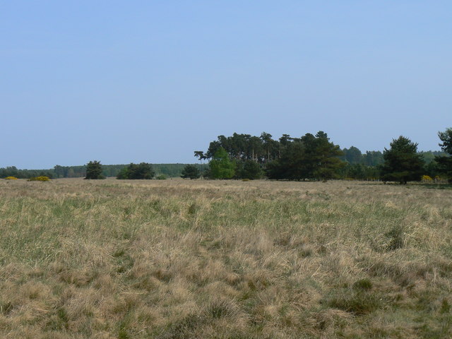 Breckland Heath-Grassland Ecosystem - geograph.org.uk - 415793 2007
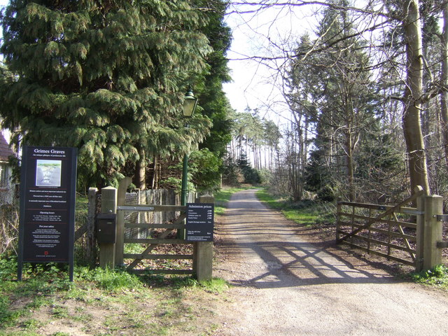 Entrance to Grime's Graves - geograph.org.uk - 397322 2007
 Grimes Graves (1) 2005
 Grimesgraves2 2008
 Grime's Graves - general plan of site. 1963
 Grimes Graves, near Thetford, Norfolk - geograph.org.uk - 40466 2004
 Grimes Graves, near Thetford, Norfolk - geograph.org.uk - 41510 2004
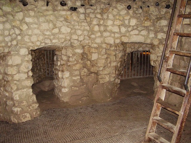 Grimes Graves , neolithic flint mine - geograph.org.uk - 1007207 2007
 Grimes Graves , Neolithic flint mine - geograph.org.uk - 1007212 2007
 Open Flint Mine. Grime's Graves - geograph.org.uk - 1318798 2009
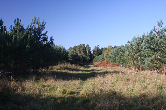 Track to Grime's Graves - geograph.org.uk - 1017452 2008
.jpg)